quiénes somos
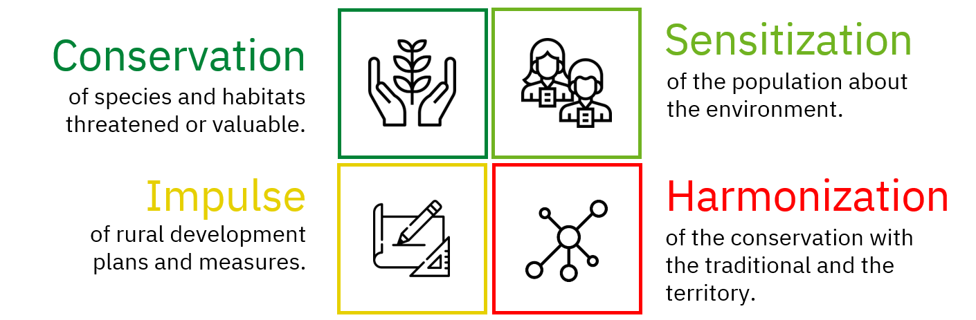
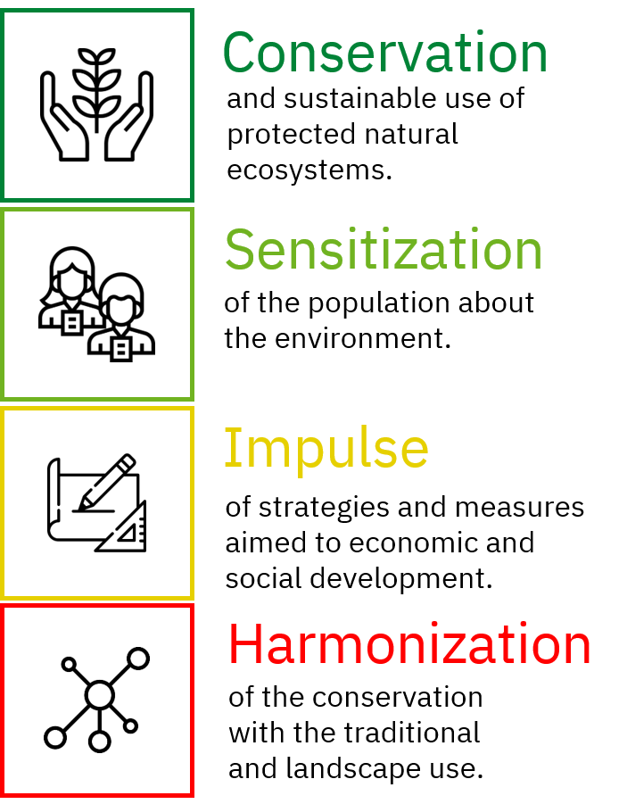
Terra Naturalis is a non-profit organization constituted in 2013, whose main objectives are:
Since its establishment, Terra Naturalis has participated and developed their projects framed generally in the following four operating lines:
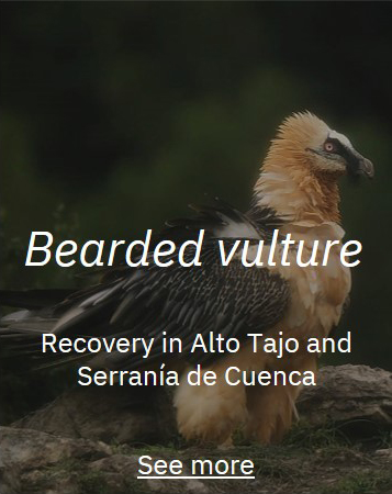
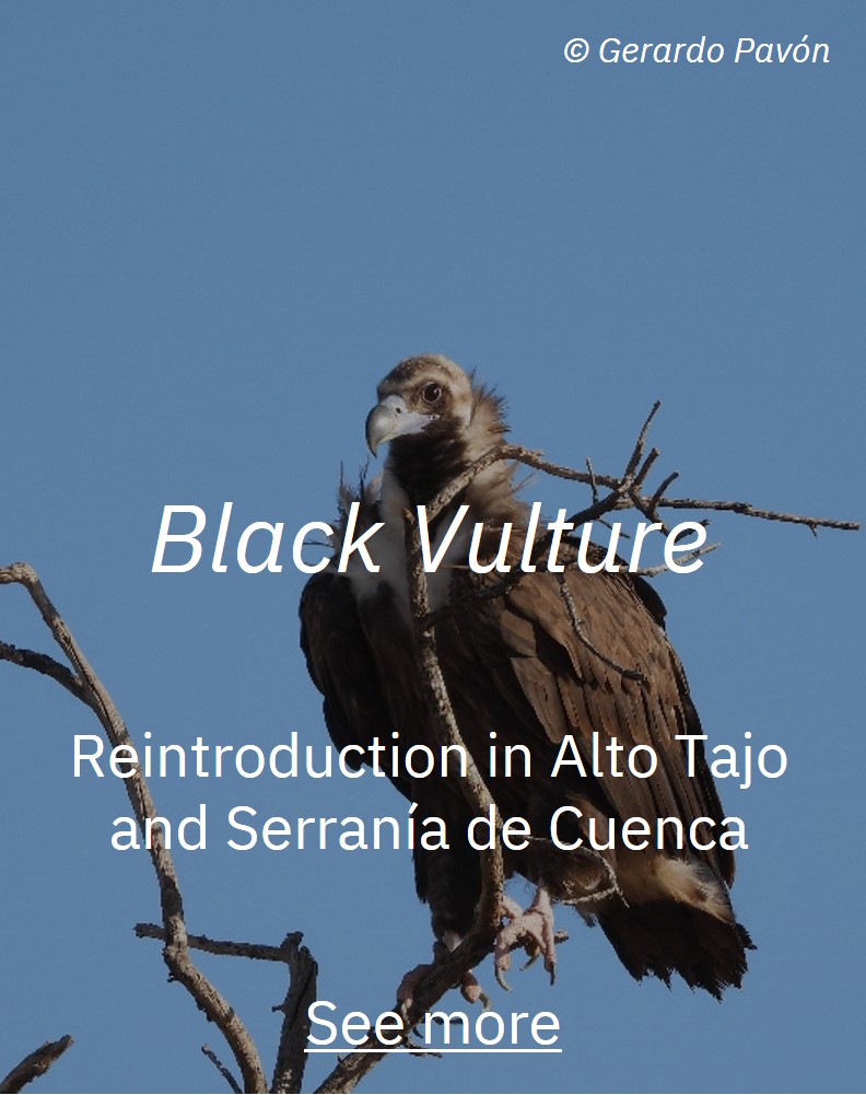
Video presentation of the black vulture (Aegypius monachus) and bearded vulture (Gypaetus barbatus) reintroduction project in Alto Tajo and Serrania of Cuenca.
Download the video and share it (mp4 257 Mb - in spanish)
We promote the cultural, historical and ethnographic heritage
What do we do
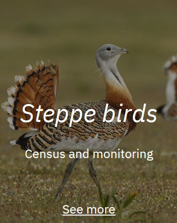
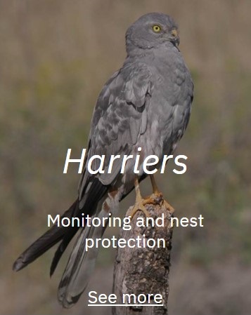
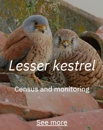
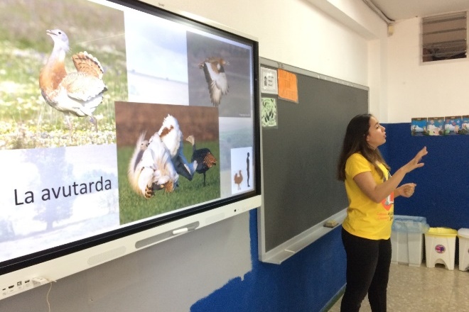
1. Biodiversity and species of interest.
Terra Naturalis works on projects related to threatened species, contributing to their preservation and conservation.
We participated or elaborated these projects:
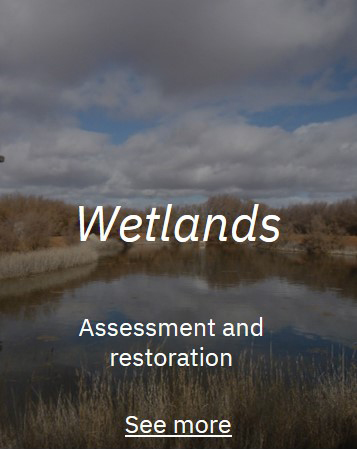
2. Natural spaces.
The wetland areas, since Spain exist a great diversity, the variety of its origin, the numerous species that maintain and uses that they sustain. Approximately 1,500 are estimated in our country, characterized by a great abundance of small inland water bodies, accompanied by a small number of extensive and complex coastal aquatic systems.
It is estimated that 60% of the area of natural wetlands and lakes in Spain has disappeared, mainly in recent decades, with floodplains and inland freshwater wetlands being the most affected. The most important impacts of wetlands are related to very specific sectors: agriculture, urban development associated with tourism, industry and infrastructure. For this reason, Terra has collaborated in projects whose purpose is the conservation and recovery of these areas.
These are the projects in which we have participated:

3. Invasive alien species.
The IUCN considers an alien species when is established outside of its natural past or present distribution and invasive if provoques changes that threaten all native biological diversity (IUCN).
The invasive alien species (IAS) are currently recognized as one of the most important causes of biodiversity loss (second after the destruction of habitat), and may become the most important factor of ecological disintegration in the near future. In addition it will have important consequences in the economic development and the health sector, which are already beginning to be visible today.
We participated or elaborated these projects:
4. Rural Development
Lorem ipsum dolor sit amet, consectetur adipiscing elit, sed do eiusmod tempor incididunt ut labore et dolore magna aliqua. Ut enim ad minim veniam, quis nostrud exercitation ullamco laboris nisi ut aliquip ex ea commodo consequat. Duis aute irure dolor in reprehenderit in voluptate velit esse cillum dolore eu fugiat nulla pariatur. Excepteur sint occaecat cupidatat non proident, sunt in culpa qui officia deserunt mollit anim id est laborum.
These are the projects in which we have participated:
2018
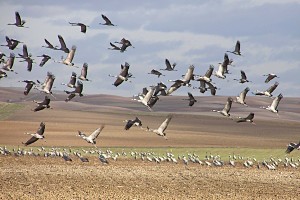
Proposal for a sustainable rural development program in the Laguna de El Hito region: compatibility of the presence of the common crane ( Grus grus ) with traditional agricultural uses.
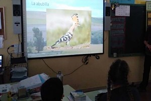
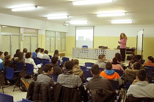
4. Education and environmental awareness
The environmental education has 3 main purposes:
![]() Ensure that both individuals and collectives understand the complex nature of the environment and the relationship between natural and social systems.
Ensure that both individuals and collectives understand the complex nature of the environment and the relationship between natural and social systems.
![]() Acquire the knowledge, values and practical skills
Acquire the knowledge, values and practical skills
![]() Participate responsibly and effectively not only in the prevention and solution of problems but also the management of the natural environment.
Participate responsibly and effectively not only in the prevention and solution of problems but also the management of the natural environment.
These are the projects in which we have participated
2020-2021
Awareness campaign and dissemination of the value of habitats and steppe birds and their problems. Dissemination of the rescue actions of the Montagu's harrier in the SPA "Cereal steppes of the Jarama and Henares rivers" in schools and town halls. Design of informative posters.
2019
Sensitization campaign of the problem and nidified population rescue campaign of Montagu's harrier and Hen harrier in the SPA "Cereal Steppes of the rivers Jarama and Henares" in the Community of Madrid.
2016
Dissemination and awareness about the importance and interest of the Humid Areas. The Wetlands of International Importance of the Ramsar Convention.

2015-2014
Development, dissemination and awareness for the support and implementation of the Climate Change Monitoring Program in the Spanish Network of Biosphere Reserves.
5. Environmental Cartography and Geographic Information Systems
Geographic Information Technology (GIT) which grows expansion in recent years due to the versatility of its application in different areas, such as the environment, the natural resources, the conservation of threatened species and the planning and management of the territory, is used transversally in all Terra Naturalis' projects..
Some practical applications performed by Terra Naturalis with these tools are:
![]() Study and characterization about the habitat of threatened species by means of photo-interpretation of satellite images.
Study and characterization about the habitat of threatened species by means of photo-interpretation of satellite images.
![]() Determination of the use of space, home range and seasonal movements of endangered species; prediction of potential distribution areas and ecological connectivity (Maxent, R).
Determination of the use of space, home range and seasonal movements of endangered species; prediction of potential distribution areas and ecological connectivity (Maxent, R).
![]() Prediction of potential distribution areas and ecological connectivity (Maxent, R).
Prediction of potential distribution areas and ecological connectivity (Maxent, R).
![]() Network analysis for design and planning of itineraries in the field.
Network analysis for design and planning of itineraries in the field.
These are the projects in which we have participated:
2021
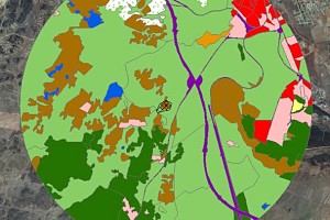
Delimitation of critical areas according to the presence of species, carrying out an analysis of the probability of finding specimens within a defined area according to the isolines of different probabilities of use of the territory by the species. Steppe Project.
2019
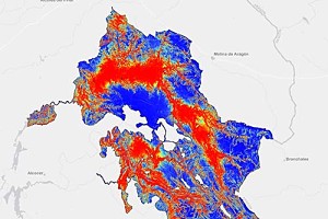
Habitat suitability model for the bearded vulture (Gypaetus barbatus) in Alto Tajo and Serranía de Cuenca.
2018
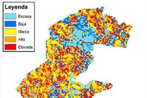
Habitat characterization of kestrel colonies (Falco naumanni) in Extremadura. Study of the different uses of the soil in the radius of the colony.
2017
Predictive model of distribution of steppe birds in the San Clemente ZEPA, and assessment of environmental conditions through the MaxEnt software.
2016
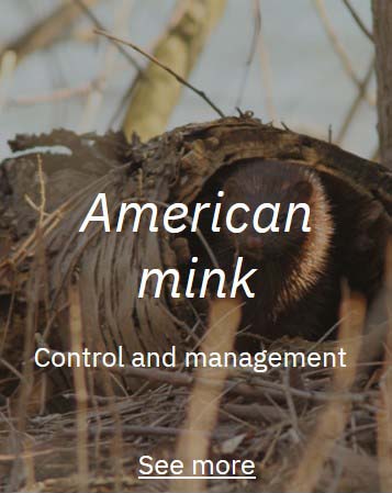
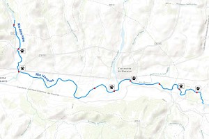
Cartography of signs and captures of American mink specimens in the Henares and Aliendre rivers (Guadalajara).
2015
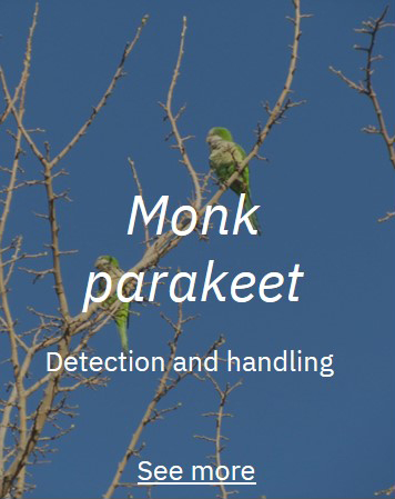
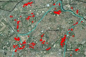
Cartography of Argentine parrot nests by municipalities and districts of the Community of Madrid.
2015
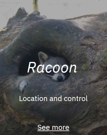
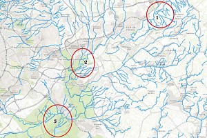
Cartography of clues and captures of raccoons in the Community of Madrid. Determination of champion areas and seasonal movements of specimens.
We promote sustainable development in all its forms
Contact
Fill out this form or send any questions to info@terranaturalis.eu, and as soon as possible we will contact you. Thanks for your time!